DeepState reports Russian advances: Матяшевого, Світлого
🔄 Мапу оновлено ⚔️ Ворог просунувся поблизу Матяшевого та Світлого .
Since 2026-10-16 · +0.0027 pp
57.1287% of the defined target
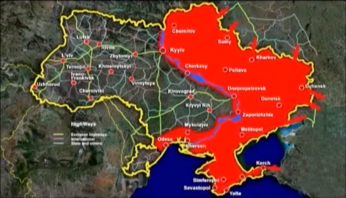
Occupation geometry: October 17, 2026, DeepState mirror. Boundaries and river are generalized. Yellow: mapped additions. Green: mapped removals. Change overlays approximate the latitude-strip calculation.
DeepState map announcement for the displayed map date. Publication date does not necessarily indicate when the reported change occurred.
🔄 Мапу оновлено ⚔️ Ворог просунувся поблизу Матяшевого та Світлого .
| Date | Occupied km² | Change in mapped occupied area |
|---|---|---|
| 2026-10-17 | 114,598.2 | +7.2 km² since 2026-10-16 |
| 2026-10-16 | 114,591.0 | +8.7 km² since 2026-10-15 |
| 2026-10-15 | 114,582.3 | +0.0 km² since 2026-10-14 |
| 2026-10-14 | 114,582.3 | -67.3 km² since 2026-10-13 |
| 2026-10-13 | 114,649.6 | +4.7 km² since 2026-10-12 |
| 2026-10-12 | 114,644.9 | +11.6 km² since 2026-10-11 |
| 2026-10-11 | 114,633.3 | +0.0 km² since 2026-10-10 |
All observations use the same fixed geographic target. Minus means less area marked as occupied; plus means more. Changes may reflect battlefield developments, delayed confirmation, or map corrections; they do not independently confirm captures or recaptures.
100% means the entire fixed monitoring target. The area definition remains consistent across observation dates and includes territory occupied since 2014. Mainland west of the Dnipro remains excluded.
As of 2026-10-17, mapped occupation covers 114,598.2 km² of the fixed monitoring target (42.9%). Between 2026-10-16 and 2026-10-17, map snapshots show 7.2 km² of mapped additions and 0.0 km² of mapped removals. Mapped changes may reflect delayed confirmation or boundary corrections.
The map highlights additions and removals between dated snapshots. These may include delayed confirmation or cartographic revisions. Frontline posts are collected separately from DeepState; this area calculation does not refresh Kyiv status, or assess prophecy fulfillment.
Mapped additions: 7.2 km² · mapped removals: 0.0 km² · comparison: 2026-10-16 → 2026-10-17.
Percentage calculated from DeepState occupation maps within the defined target area. Boundaries are approximate, so results are estimates. Territory occupied since 2014 is included.
The Maidan Revolution, also known as the Revolution of Dignity, grew out of the Euromaidan demonstrations and civil unrest, reaching a violent peak in February 2014. It culminated in the removal of pro-Kremlin President Viktor Yanukovych, changing Ukraine’s political trajectory and shifting its alignment toward Europe.
Viktor Yanukovych secretly left Kyiv on the night of February 21–22, 2014, and subsequently fled to Russia. On February 28, he made his first public appearance in exile at a press conference in Rostov-on-Don, Russia, insisting that he remained Ukraine’s legitimate president.
February 28 press conference · Reuters ↗ · Russia’s role in his escape · Reuters ↗
A letter signed by Viktor Yanukovych and dated March 1, 2014 requested Russian military intervention in Ukraine. Russia’s UN ambassador presented it to the Security Council on March 3 as a justification for intervention.
Russian troops without identifying insignia had already begun seizing key sites in Crimea in late February. On March 1, Russia’s upper house of parliament approved President Vladimir Putin’s request to use Russian forces in Ukraine. Russia annexed Crimea in March, and in April Russian-backed armed groups seized buildings and towns across the Donbas.
The appeal came from Yanukovych after he had fled Ukraine; it was not an invitation from the government exercising authority in Kyiv. Russia’s domestic authorization and its use of the letter as justification did not make the intervention lawful under international law.
On February 24, 2022, Russian President Vladimir Putin announced what he called a “special military operation,” launching a full-scale invasion of Ukraine. It marked the largest conventional military attack on a European state since World War II and profoundly changed the international security landscape.
A mass exodus of civilians from Kyiv began as the invasion opened. The Azovmena website interprets this departure as the first evacuation of Kyiv described in the prophecy. This is the website’s interpretation of the events; the evacuation did not mean that Russian forces occupied the city.